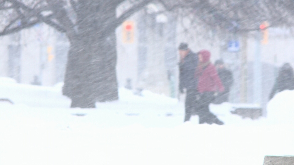
An early spring storm is expected to bring rain and potentially “significant” snow on Wednesday evening going into Thursday.
A special weather statement issued by Environment Canada on Monday evening says precipitation is expected to begin as rain and transition to snow late Wednesday evening.
“Significant snowfall accumulations are possible by the time snow begins to ease Thursday night,” the statement says.
The weather forecaster says power outages may be possible and travel may become hazardous because of accumulating snow and reduced visibility.
Environment Canada says the storm conditions may change in the coming days leading up to Wednesday.
“Confidence is low as there remains a high degree of uncertainty with the low’s track, which will have significant impacts on temperatures, snowfall amounts as well as when rain will transition to snow,” Environment Canada says.
“Warnings, if required, will be issued as the event draws nearer.”
A “significant weather outlook” issued by the weather agency over the weekend says Ottawa and parts of eastern Ontario could see 5-15 cm of snow on Wednesday, with another 5-10 cm of snow on Friday as the system moves out of the area.
Other parts of eastern Ontario could see 15-20 cm of snow on Thursday.
The record for greatest snowfall on April 3 in Ottawa is 26.7 cm, set back in 1975. The record for April 4 is 9.2 cm, set back in 2004.
Ottawa received 10 cm of snow on March 31, 2019.