Another round ofsnow is expected to be dumped on the nation’s capital on Monday, according to Environment Canada.
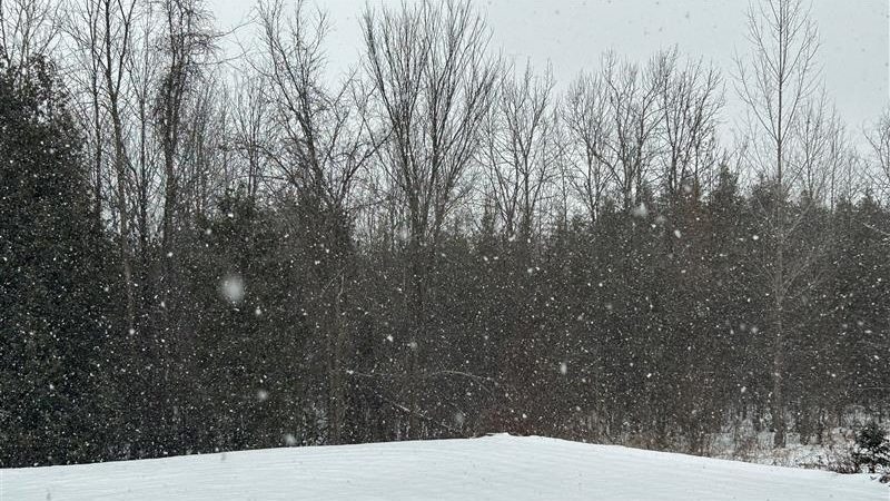
The weather agency notes that by this afternoon a system will be in the city and could drop between 5 to 10 centimetres of snow. It is possible some areas could see more accumulation than what is expected.
The “heavy snow” will prompt visibility concerns for those on the road. This was already an issue as the risk of freezing drizzle was high across the city this morning.
“Travel may be hazardous due to sudden changes in the weather. Surfaces such as highways, roads, walkways and parking lots may become difficult to navigate due to accumulating snow,” Environment Canada notes.
Despite the freezing rain, it is still cold in Ottawa on Monday, with a wind chill of -12 C increasing to -3 C by the afternoon. As of noon, the Rideau Canal Skateway remains open with the National Capital Commission reporting “very good” ice conditions.
Snow is expected to end later Monday evening and wind chills will return with a low of -14 C.
Colder weather is on its way for Tuesday, the weather agency’s forecast notes. It could be -17 C on Feb. 4 due to wind chill with temperatures reaching -19 C overnight.